Tellus – Research
Tellus undertakes research with a range of collaborators in order to maximise the societal and economic benefits of the geochemical and geophysical data. Explore the themes below to see how Tellus data is being used to benefit society.
Mineral Exploration
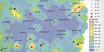
Tellus is supporting mineral exploration in Ireland by providing world-class geochemical and geophysical data on a regional level. 2016’s Fraser Report on worldwide mineral exploration ranked Ireland ninth in the world for the quality of its geological databases and second in Europe for overall investment attractiveness.
Research shows how the geochemical and geophysical data can be used to support exploration for a variety of minerals.
Agriculture
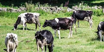
Tellus provides a wide range of geochemical data relevant to the assessment of micro-nutrients and chemical status in agricultural soil on a regional level.
Environment
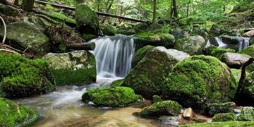
Tellus provides a wealth of data on the physical and chemical properties of Ireland’s soil, water, sediment and rocks. The survey forms a baseline or ‘snapshot’ of current environmental conditions today, from which future changes can be assessed.
Water
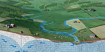
Assessment and protection of Ireland’s water environment is a key objective in modern times, driven by pressures on water quality and quantity. Tellus data provides an opportunity to better understand the water environment, including groundwater and wetlands.
Mapping
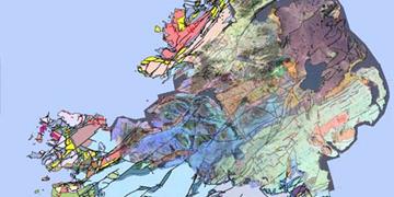
Tellus data is helping the Geological Survey of Ireland update geological maps by providing state-of-the-art data not previously available through traditional mapping methods.
Radon
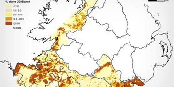
Radon is a radioactive element which occures naturally in earth materials. Exposure to high concentrations of radon is known to increase the risk of lung cancer. Accurate mapping of its occurrence can help identify households potentially at risk from exposure to radon and assist with highlighting high radon areas for future development. In Ireland, the radon risk map is produced from indoor radon measurements by the Office of Radiological Protection of the Environmental Protection Agency (EPA) . In areas where few measurements exist there may be difficulty in determining radon risks. Geological Survey Ireland is working with the EPA to understand and predict natural sources of radon in rocks, soils and waters nationwide, as part of the National Radon Control Strategy.