Programmes & Projects
This section presents the Geological Survey Ireland programmes goals in line with the Department’s Statement of Strategy (2021-2023) and the Government’s priorities for the Natural Resources sector.
More information about each programme activities can be found below.
See also where our programmes will be working in 2025 on the map, along with the equipment we use to fulfil our activities.
Geohazards
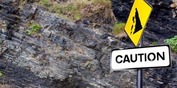
The Geohazards Programme investigates landslides occurrences and risks, and contributes to the tsunami warning system.
Geoheritage
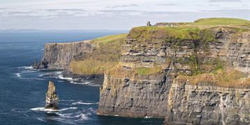
The Geoheritage Programme has responsibility for the promotion and protection of sites of geological importance.
Geological Mapping
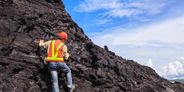
The Geological Mapping Programme creates maps that depict the rocks and sub-soils of the onshore area of Ireland.
Geothermal
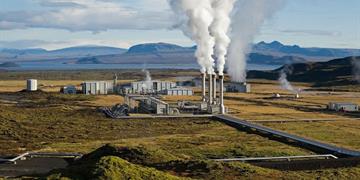
The Geothermal Programme, part of the Groundwater and Geothermal Unit, evaluates geothermal potential for Ireland.
Groundwater
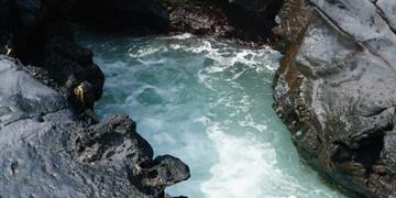
The Groundwater Programme, part of the Groundwater and Geothermal Unit, provides advice and maps to members of the public, consultancies and public bodies about groundwater quality, quantity and distribution. We also provide scientific advice and expertise in the area of geothermal energy to support new policies and regulations developed by DECC.
Information
We manage the Geological Survey extensive catalogue of data and provide services to enhance geoscience research and support EU initiatives and projects.
Marine and Coastal
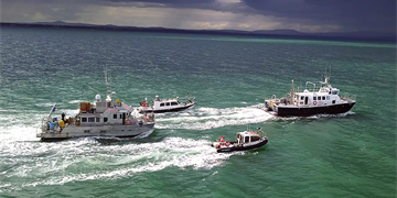
The Marine and Coastal Unit runs the national marine mapping programme. Our largest project is INFOMAR, which maps the Irish seabed and provides key baseline data for Ireland’s marine sector. We also participate in several EU marine and coastal related projects.
Minerals
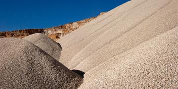
We provide data, maps, interpretations and advice on matters related to minerals, their use and their development.
Geoscience for Planning

As a statutory body, it is our responsibility to respond to request for information and comments on spatial planning documents.
Tellus
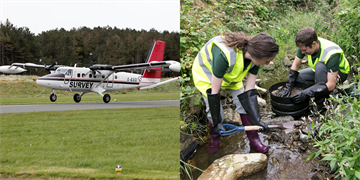
The Tellus survey is a national programme gathering geochemical and geophysical data across Ireland to examine the chemical and physical properties of our soil, rocks and water.
Urban Geology
We produce urban geoscience data on a project basis, informing the areas of soil geochemistry and contamination, 3D modelling of ground conditions, and assessing ground motions that present a hazard to citizens in the urban environment.
How and Where We Work
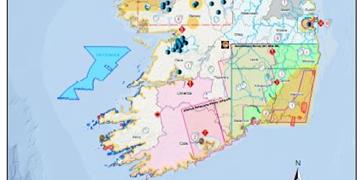
We use different types of equipment to fulfil our mapping duties, whether on land, offshore or from the air. We also compile a map to show all our activities planned for the year.