Quaternary Field Mapping
Our Quaternary geology field programme is gathering outcrop, borehole and shallow geophysical data in areas where existing data coverage is low, to improve the National Quaternary map. A new digital field data collection system has been developed in-house. The map is updated annually after the results of each summer field season have been compiled.
Individual map data packages for each annual field area can also be downloaded from the Quaternary Data and Maps page.
Field Mapping Schedule 2021
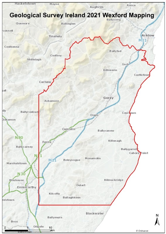
2021 will see new field mapping to help update our understanding of the Quaternary geology over a study area covering parts of County Wexford.
Quaternary Data Download & Viewer
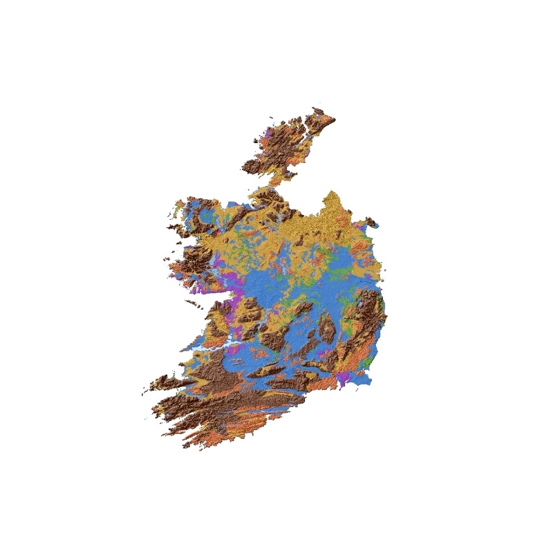
The National Quaternary map is available as a download and on our map viewer.