Examples of groundwater vulnerability
Extreme ‘X’ Groundwater Vulnerability
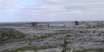
Karstified bedrock at or within 1m of surface.
The Burren, Co Clare.
Extreme ‘X’ Groundwater Vulnerability
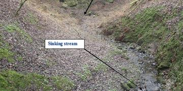
Point recharge feature. Extreme X groundwater vulnerability for a 15m radius around the swallow hole, as well as within a 10m buffer of the sinking stream.
Sinking stream at Barley Hill, Co Meath.
Extreme ‘X’ Groundwater Vulnerability
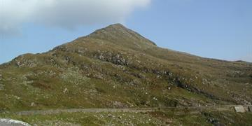
Bedrock at or within 1m of surface.
Molls Gap, Co Kerry.
Extreme ‘E’ Groundwater Vulnerability
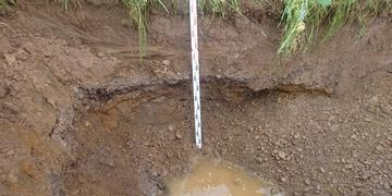
1.5m of subsoil over locally important sand and gravel aquifer.
Knockanemore, Overns, County Cork.
Extreme ‘E’ Groundwater Vulnerability
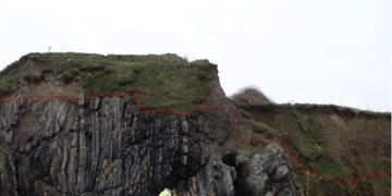
Bedrock at or within 1m to 3m of surface.
Giant’s Hill, Rush, Co Dublin.
High ‘H’ Groundwater Vulnerability
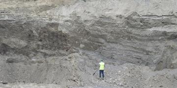
10m depth of highly permeable sands and gravels in a locally important sand and gravel aquifer.
Broadford, Co Kildare.
High ‘H’ Groundwater Vulnerability
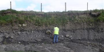
3m-4m depth of moderate permeability till (boulder clay) above bedrock.
Doorin point, Co Donegal.
Moderate ‘M’ Groundwater Vulnerability
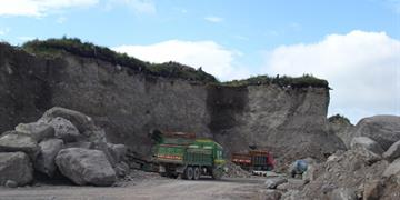
Greater than 10m depth of moderately permeable till (boulder clay).
Rangue, Killorglin, Co Kerry.
Low ‘L’ Groundwater Vulnerability
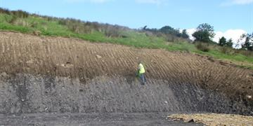
10m depth of low permeability till (boulder clay).
Mountcharles, Co Donegal.