Marine and Coastal – Activities
Seabed Mapping
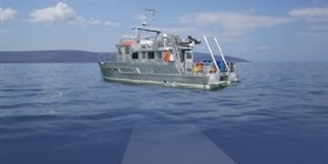
We map the Irish seabed, mostly using sonar systems on boats. Find out where, why and how we do this.
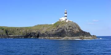
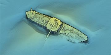
Charts
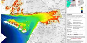
We create PDF charts of bathymetry, backscatter, shaded relief & seabed classification.
Story Maps
We create story maps. These help explain our work & allow you to discover your area.
Apps
We build apps. Story Map App for Galway, Kerry & Waterford. A Diving App. Avenza 3rd party App which allows you to store INFOMAR bathymetry maps offline .