GeoConnect3d
The GeoERA GeoConnect³d project is developing and testing a new methodological approach to prepare and disclose geological information for policy support and subsurface management.
The project involves 20 partners, 5 work packages and 4 pilot areas.

The Irish border problem
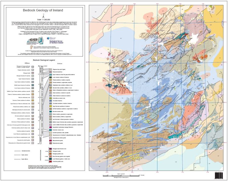
In a post Brexit context, hard or soft border, all-island or not, Ireland has a complex geology, created and modified during several tectonic cycles. It will provide a good test case to validate and refine the methods developed in GeoConnect³d.
The Quaternary – Connect3d
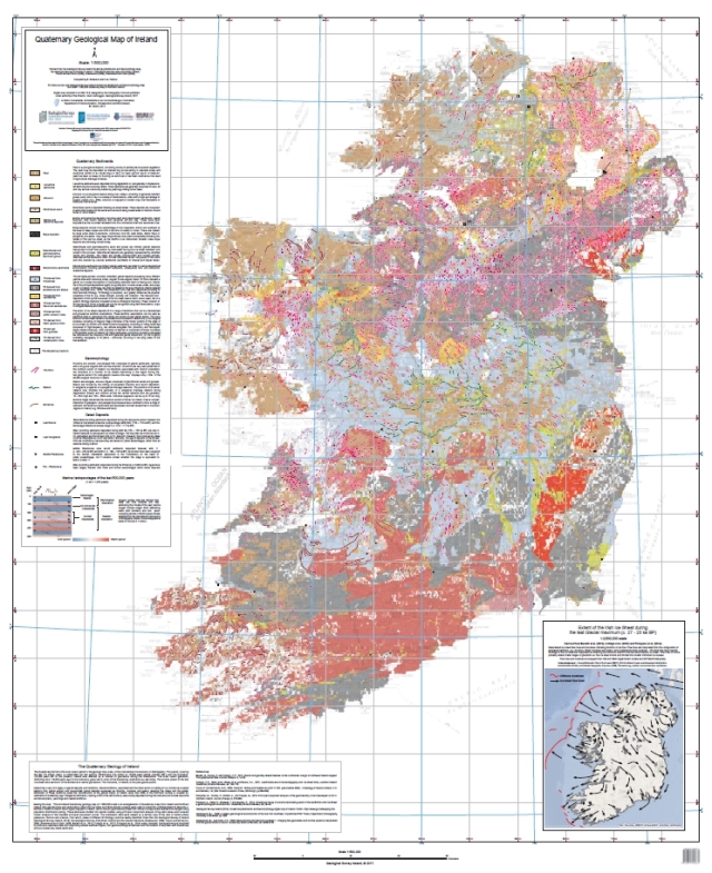
Quaternary geology in Ireland appears to be largely about Pleistocene glaciations and Holocene bogs (peatlands). It’s not immediately obvious how that can be related to the bedrock geology of the structural framework. But more is revealed to us…
GeoConnect³d for recovery
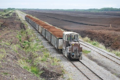
In the Government of Ireland Climate Action Plan, Geological Survey Ireland has tasks that include an evaluation of natural resources concealed by the cover of cutaway bog in the Midlands– a project that brings together geothermal energy, mineral exploration and environmental protection as part of a ‘Just Transition’ for these areas of old-energy industry. This project remains key as we plan the GSI role in Ireland’s post-Covid19 national economic recovery.
Online viewer for GeoConnect3d results
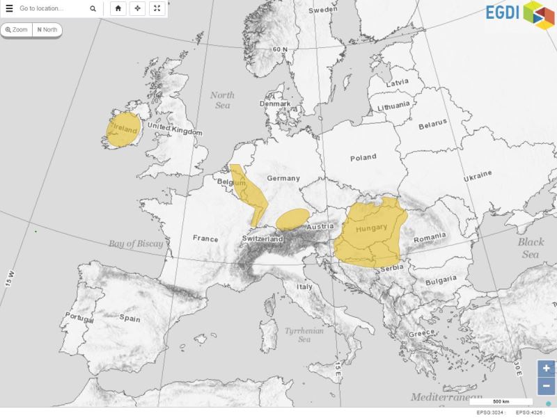
The results of the GeoConnect3d project will be made accessible when they will be available through the project. The current view is not showing results of the project but is only here to give an idea about and where the results will appear.