Deep temperature maps for Ireland
Published: 30 September 2021
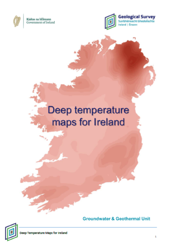
Groundwater & Geothermal Unit has produced a new
suite of deep temperature maps for onshore Ireland. This short document is
designed to present the maps and their metadata (describing how and why the
maps were made) to the public. The maps will be available to view and download on
Geological Survey Ireland’s online viewer in late 2021. The six maps were
produced using temperature data provided by the Dublin Institute for Advanced
Studies (J.
Fullea. G.O.THERM.3D Providing a 3D Atlas of Temperature in Ireland’s
Subsurface, funded by the Irish Research Council and Geological Survey
Ireland). The maps represent two dimensional slices
through the crust at depths of 2 km, 2.5 km, 3 km, 3.5 km, 4 km and 5 km.
Topic: Energy
Programme: Groundwater, Geothermal
Category: Research
Type: Report