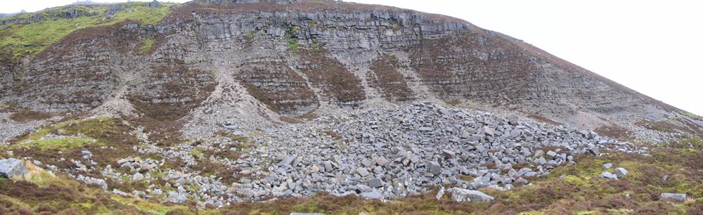
The term "landslide" describes a wide variety of processes that result in the downward and outward movement of materials under the force of gravity; this includes materials like rock, debris, earth, mud and peat, or a combination of these. Ireland's location, terrain and climate result in landslides occurring mainly in areas with steep slopes where rock meets the surface and peat covers the terrain.
Landslides have the potential to cause great havoc, and have done so all around the world. They have resulted in massive loss of life and damage to infrastructure. Landslides can damage roads, railways, canal embankments, and cause dams to fail. They can destroy or severely damage buildings of all types – housing, commercial or industrial property. Rivers can become blocked or diverted by sediment or rock displaced by landslides.
The consequences of this can include flooding, pollution of watercourses and the killing of fish stocks. Agricultural land can be sterilised in the short to medium term. It does not require spectacularly huge landslide events to cause serious disruption or loss of life. Relatively small landslides in terms of the volume of material displaced can damage bridges and roads, and also cause injury and death. These potential impacts of landslides, irrespective of their size, mean that the scale of the problem for Ireland in the past and into the future needs serious attention so that the susceptibility of the Irish landscape to slope instability can be properly assessed. Ireland is fortunate not to be in an extreme high risk to major geohazards. Indeed, in comparison to many other countries, Ireland may be regarded as a benign environment in terms of landslide hazard.
What can increase the chances of a landslide?
| Underlying Rock | Rock type, grain size, what the rock is made of, degree of weathering |
| Physical features | slope elevation, slope incline, direction the slope is facing |
| Drainage | slope drainage direction, how fast the ground drains |
| Land Cover | vegetation type, land use |
| Rainfall | total amount, intensity, time interval |
| Natural erosion | slope surface, base of slope |
| Man-made | undercutting of slopes, removal of retaining walls, land drainage |
| Volcanoes and Earthquakes | Not a major factor in Ireland |