Mapping Ireland: Past, Future, Present by Koen Verbruggen
Free, all welcome, no booking required. See map below.
This talk is part of the educational programme associated with the exhibition “Stones, Slabs and Seascapes, George Victor Du Noyer’s Images of Ireland“.
Geological Survey Ireland (GSI) was founded in 1845. It is our National Earth Science Agency and part of the Department of Communications, Climate Action & Environment. It is the National Geoscience Data Centre, collects geological information, produces maps and databases, partners and funds research and acts as a civic, educational and cultural resource.
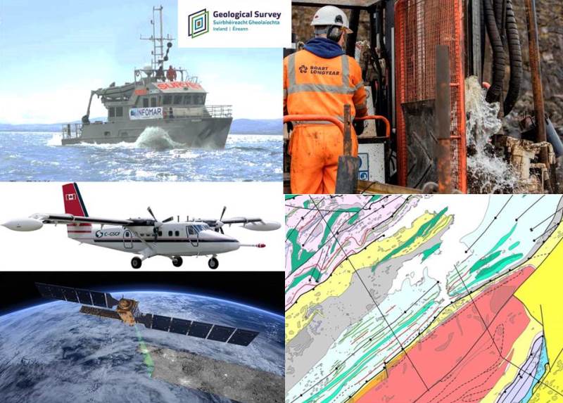
The talk will be given by Koen Verbruggen, Director of Geological Survey Ireland and will trace how GSI mapping has evolved from Du Noyer’s time to today and what modern geological surveying entails.
Crawford Art Gallery educational programme.
Topic: Geology, Marine, Natural Hazards
Programme: Geoheritage, Geohazards, Groundwater, Information, Land Mapping, Marine, Minerals, Tellus, Planning, Geoenergy
Category: Education