Geological Mapping: the Role of Geological Survey Ireland
Geological Mapping: the Role of Geological Survey Ireland by Koen Verbruggen
Free, all welcome, no booking required. See map below.
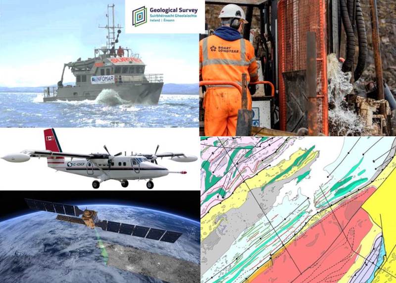
Talk presented by Koen Verbruggen, Director of Geological Survey Ireland to the Galway Geological Association on the role of the Survey in mapping our resources. The talk will give an overview of the tools used from drones to planes and boats; the main mapping programmes INFOMAR, Tellus, Groundwater and Land Mapping, and the benefits of geological mapping from evaluating resources, fostering research, understanding natural hazards and ensuring better spatial planning.
Topic: Geology, Construction Engineering, Natural Hazards, Water, Marine, Climate Change, Heritage, Environmental Health
Programme: Geoenergy, Geohazards, Geoheritage, Geoscience Ireland, Groundwater, Information, Land Mapping, Marine, Minerals, Planning, Tellus, Urban Geology
Category: Education