 Tellus County Maps are a series of high quality maps, each focusing on a specific county within Ireland. These maps are made using geophysical data, which is readily accessible at no cost on our site.
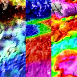
Every month, we release maps that display magnetic, electromagnetic, and radiometric data. Magnetic maps are useful for exploring deep geological features, while electromagnetic maps are good at showing the boundaries between different soils and rocks, and radiometric maps provide an excellent view of the extent of peatland. The downloadable maps also incorporate a satellite base map featuring elevation data and hill shading.
Keep an eye on our updates to see if your county will be featured next! Links for map downloads can be found below.
Geological maps are available here for comparison. (PDF)