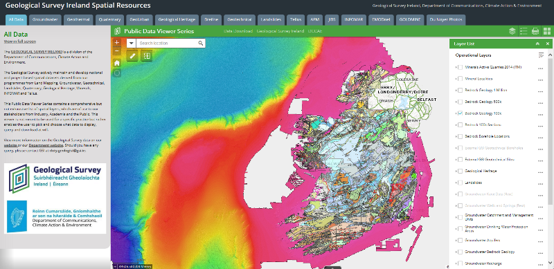
Our extensive Data & Maps repository covers all areas of work carried out by our various programmes. Data available include bedrock, quaternary, geotechnical, minerals, groundwater, geothermal, geochemistry, geophysics, geohazards and marine.
Our data is made available to users through online viewers and downloadable formats. Visit the dedicated repository on this website to explore our data.