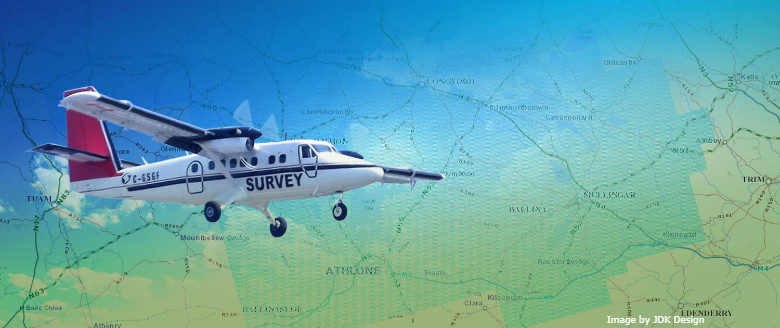
Tellus involves two types of surveying – airborne geophysical surveying using a low-flying aircraft and ground-based geochemical surveying of soil, stream water and stream sediment.
Tellus is using harmonised, systematic surveying techniques across entire regions of the island of Ireland, producing seamless maps for a variety of end-users.
The coupling of airborne geophysics and ground-based geochemistry provides a richness of data which puts Ireland amongst the top countries in the world for the quality, breadth and availability of geoscience information.