The Tellus soil sampling campaign has successfully wrapped up its operations ahead of schedule in the urban areas of Galway, Limerick, Cork, and Waterford. Over several weeks, the soil sampling teams gathered geochemical data with the aim of highlighting both man-made and natural variations in the soil. Once this data is processed and mapped, it could potentially reveal the impacts of industrial activities and provide insights into the chemistry of the underlying rock. The analysed data will used to update the Tellus geochemical map of Ireland.
The Tellus survey, a programme of Geological Survey Ireland, is a nationwide initiative with the goal of collecting geochemical and geophysical data of Ireland's rocks, soil, and water. The analysis of these samples has not only increased the accuracy of geological maps but also gives is information about environmental health, soil nutrients, and trace elements.
Usually, the sample team works from rural locations where the collected data has shown regional differences in soil characteristics, these differences can affect how fertile the soil is and how much grass it can produce, which can be very useful for farmers.
With the completion of the urban sampling, the Tellus soil samplers will be trading their city lattes and strong phone signals for the countryside as they start work in the rural areas of Kerry, Cork, and Waterford next week.
All the data from the Tellus survey is freely accessible to the public on the website. Tellus is a programme of Geological Survey Ireland and is funded by the Department of the Environment, Climate and Communications.
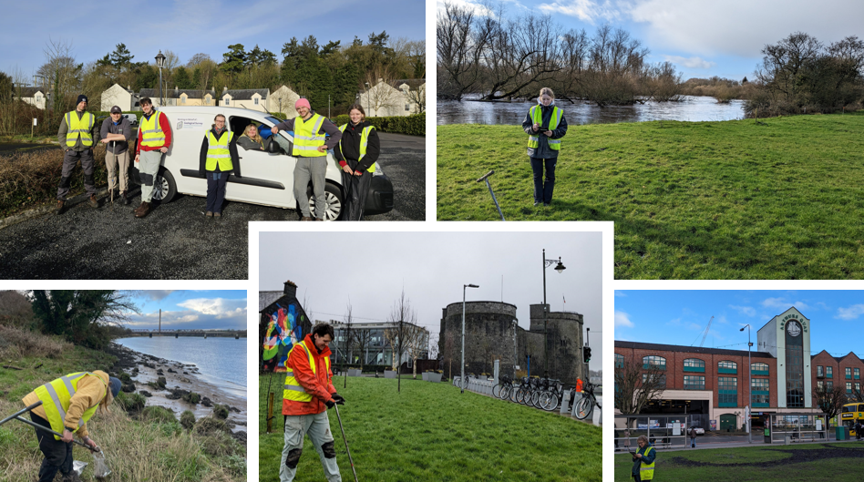 Photo Credits: Joseph Surzyn, Ellen Oliver, Eavan O'Toole, Luke Adair, Emil Škudar and Terézia Babirádová