The winter of 2015/2016 saw the most extensive groundwater flooding ever witnessed in Ireland. Homes were flooded or cut off, roads submerged, and agriculture disrupted by karst derived groundwater flooding, with some affected areas remaining inundated for months. In the aftermath of the floods, the lack of data on groundwater flooding and fit-for-purpose flood hazard maps were identified as serious impediments to managing groundwater flood risk in vulnerable communities. In response Geological Survey Ireland, as the leading national authority on groundwater science, initiated a new groundwater flood project, GWFlood, to address these deficits in collaboration with Trinity College Dublin and Institute of Technology Carlow.
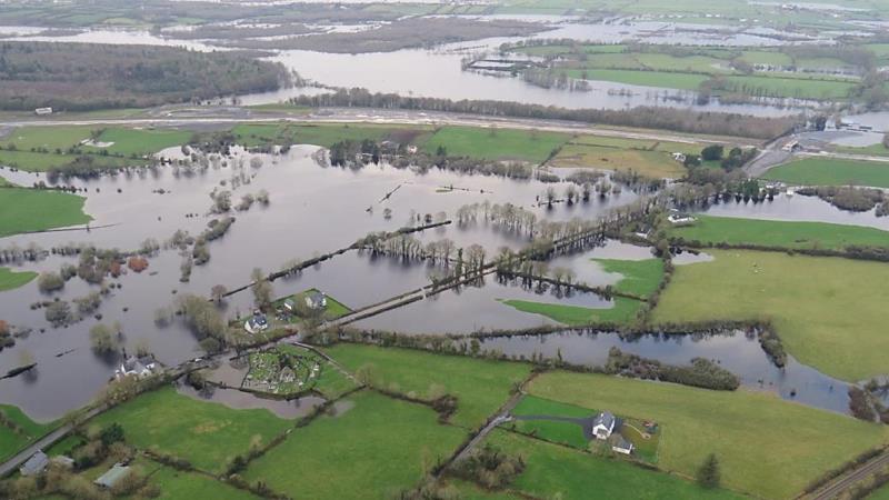 The remit of GWFlood was to advance understanding of karst groundwater flooding in Ireland, address the deficit of data available, and enable local and national authorities to make scientifically informed decisions regarding groundwater flood risk management. The study addressed the gap in groundwater hydrometric data by establishing a permanent telemetric network, as well as developing the historic groundwater flood map, and the predictive flood map. These maps showed maximum extent of groundwater flooding in Ireland, and the probability of several regions in Ireland to get flooded by groundwater.
The Groundwater flood map viewer, level data viewer and GWFlood project report are available at the following links: