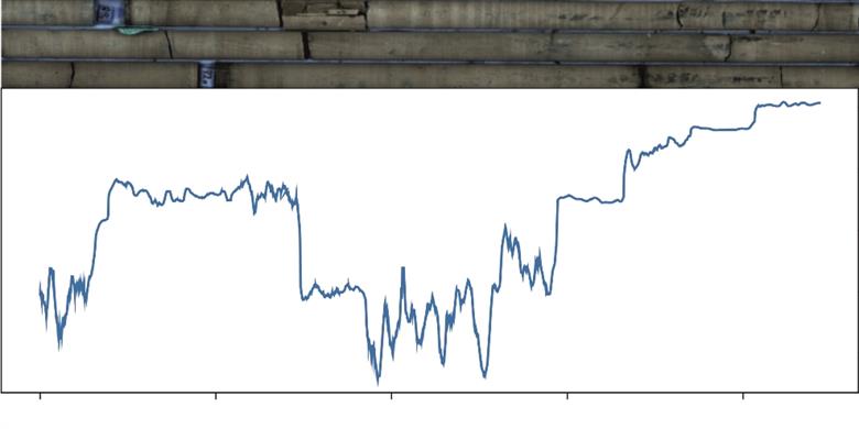
The Geological Survey Ireland's core scanner produces high quality data in both the short and medium wavelength infra-red (SWIR and MWIR).
The project aims to establish hyperspectral image analysis as a tool for geological mapping. If either formation contacts or facies distribution can be identified in the hyperspectral data then this will provide valuable mapping information at the project, regional and national scale.
The Ballymore-Oakport Contact project intends to interrogate the hyperspectral data to determine if the contact can be defined spectrally.
An initial scoping study on a single hole, GSI-16-002 Castlemine, identified a change in the carbonate absorption feature wavelength position across the contact in the SWIR spectra. The projects aims to determine if this variation is systematic by examining SWIR data from many holes at this point in the stratigraphy. Initially, the project will focus on extractions of the carbonate absorption feature, but will also look at features in the MWIR data and other hyperspectral image analysis techniques.