Tellus Soil Sampling
Tellus Soil Sampling
At the moment, sampling teams are collecting soil samples from the G11 block that is counties Cork, Kerry, and Waterford.
The samples are taken from a 2km2 grid. We collect 1kg samples from two depths: a shallow one (labelled A) from 5-20 cm deep and a deeper one (labelled S) from 35-50 cm deep. These samples will be tested for various geochemical elements and the results will be shared online for anyone to access.

![]() By analysing the samples, the Geological Survey of Ireland can improve it's geological maps and assess the health of the environment, soil nutrients and trace elements. The results will help identify regional variations in soil properties that can impact soil fertility and grass yields. This information is particularly beneficial in an agricultural context.
By analysing the samples, the Geological Survey of Ireland can improve it's geological maps and assess the health of the environment, soil nutrients and trace elements. The results will help identify regional variations in soil properties that can impact soil fertility and grass yields. This information is particularly beneficial in an agricultural context.
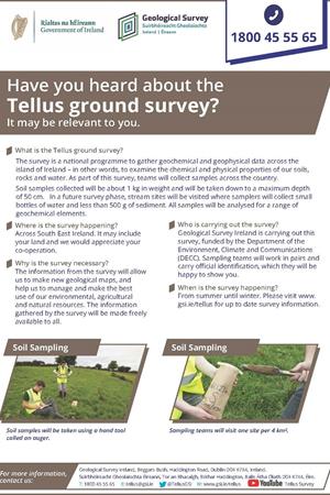
View our regional soil sampling survey flyer here.

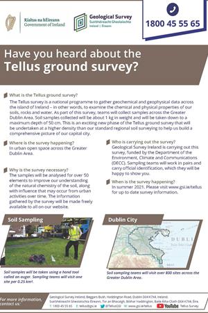
View our urban survey flyer here.
If you would like to see how our soil, stream and stream water samples are collected, check out our instructional video series here on YouTube.