Today sees the launch of new research projects funded under Science Foundation Ireland's Investigators Programme awards. This year, the awards include two projects co-funded by SFI, Geological Survey Ireland (GSI) and the Marine Institute (MI), looking at new cutting technologies and methodologies to study the deep seabed including tsunami threat and climate change impacts on our cold water corals.
The two projects build on existing Irish Government investment in INFOMAR seabed mapping and SFI co-funded marine equipment. Prof. Andy Wheeler (University College Cork) will use the latest robotic technology of the MI's Holland I to study Ireland's cold water corals including how they may be affected by climate change. Prof. Sergei Lebedev (Dublin Institute for Advanced Studies) will use Ocean Bottom Seismometers (OBS), sensors placed at water depths of up to several kilometres, to look deep into our offshore geology and also monitor our ocean processes including potential tsunami generating landslides.
"Ireland's offshore territory is ten times the size of our land and we continue to learn more about its geology and processes and how this impacts our lives. Through programmes like the INFOMAR seabed mapping project we are constantly improving the maps and images, however, these new research projects will help us further understand the continental crust and seafloor and how they form and influence our natural resources, habitats and ocean dynamics". Koen Verbruggen, Director, Geological Survey Ireland.
"It is reassuring to see some of our leading scientific researchers developing new knowledge and supporting our marine based economies through projects such as these. It is essential that we carefully manage all our natural resources, including those in the marine area. However to do this we need to better understand the natural processes affecting such environments. This will allow us to plan for our future, both in terms of sustainability and mitigating potential hazards". Minister Denis Naughton.
Both projects will use data collected by the Geological Survey Ireland and Marine Institute as part of the INFOMAR marine mapping programme which is funded by the Department of Communications, Climate Action and Environment. This data and related products are freely available online: http://www.infomar.ie/data/RealMaps.php
Prof. Wheeler (UCC): Mapping, Modelling and Monitoring Key Processes and Controls on Cold-water Coral Habitats in Submarine Canyons
The Irish Porcupine Bank Canyon supports deep-water coral reefs that will be studied using advanced robotic technology and novel 3D visualisation tools. The project will explore and monitor the canyon and define seabed processes that dictate where corals occur and their sensitivity to climate change and fisheries/oil industry impacts. The aim is to make recommendations for sustainable responsible fisheries and hydrocarbon activity and for effective management during climate change.
Prof. Lebedev (DIAS): Structure, evolution and seismic hazard of the Irish offshore: An investigation using the first broadband, ocean-bottom seismometer deployment offshore Ireland
The Irish underwater territory contains vast natural resources but also hazards: Ireland's offshore earthquakes are its largest and can trigger undersea landslides, causing tsunamis. This project will deploy, for the first time, a cluster of ocean-bottom, broadband seismometers offshore Ireland. Together with existing onshore seismometers, the entire Irish territory will be monitored. The unique new data will yield important insights into geological processes, the origins of the volcanism that formed the Giant's Causeway and other geological landmarks, the offshore-seismicity distribution and hazard, and the development of conventional and geothermal energy resources.

Photo: Dr Martin Möllhoff. Deployment of Ocean Bottom Seismometers and sensors by researchers from the Dublin Institute for Advanced Studies. Support provided by the crew of the Celtic Voyager.
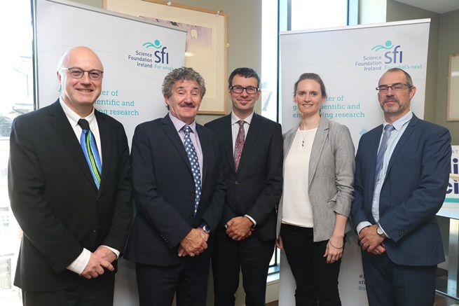
L-R: Prof. Mark Fergusson, Director of SFI; Minister John Halligan, Minister of State for Training and Skills; Prof. Andrew Wheeler, University College Cork (Awardee); Dr Aoife Braiden, Research Manager, Geological Survey Ireland; Dr Ciaran Kelly, Manager - Office of Marine Research and Development at Marine Institute.
For further information please contact: Aoife Braiden, Research Manager, Geological Survey Ireland (01) 6782650 / (087) 6790941, aoife.braiden@gsi.ie
For further information on the SFI Investigators Programme see http://www.sfi.ie/funding/funding-calls/sfi-investigators-programme/